web analytics

Day 40: Wrong Side of the Mountain

13 mi


Getting up early in the morning really makes such a difference out here in terms of your footing/stability/safety, however it might have effected our route finding abilities. Long story short went up too high on pass to avoid some steep traversing down to a plateau, and ended up glissading down a huge, even steeper slope. It went from making my palms sweat looking down the chosen "safest chute," to us each plunge stepping down, almost skiing before slipping onto our butts and breaking our ice axes, also known as self arresting. Gofar got it especially bad, when he dropped his phone and it tumbled hundreds of feet down the slope, which we found unbroken, but after he realized he lost a micro spike off his left foot.


Wings and Gofar were having trouble with the last traverse of the day, cut footsteps for them with my micro spikes. Traversing is like throwing a frisbee. You need to choose the right trajectory along the steep slope, not too steep, similar to the long arch of a frisbee throw, to your destination. Also known as where the trail emerges from the snow once again.

IMG_3067.JPG
IMG_3071.JPG
IMG_3073.JPG

Day 39: Blues

"I fucking hate suncups!" was blurted out nearly every time one of us first reached a suncup rittled snowfield. Walking on them isn't exactly conducive to forward mobility, they usually elicit either complete focus on how you're taking each step and where you're landing on your foot, or the flailing of arms trying to not crash down with 8 days of food in your pack. Snow wasn't falling to the ground, it's been on the ground since winter now constantly thawing and freezing. It's a very dynamic state of water that will take some getting used to. For the suncup form of snow I've learned to step onto them, rather than in them.


We ran across Napoleon & Red Cross near lunch and exploded our packs atop a pass and chatted. Napoleon, from New Orleans, had some inspirational and some sad stories. He was home during hurricane Katrina and watched the whole city crumble over the lack of relief and infrastructure from the field of the Louisiana Superdome. Through a long struggle he found is way to the Appalachian Trail, which was close to where his mother relocated after the storm. He said that these trails, "Churn you up and spit you out on the other side in your purest form."


Today was a learning experience for Wings, Gofar, and I. One of those "daily" rain/lightning storms I heard came over us without us knowing while descending into a valley. Our tents pitched quick to avoid getting wet, while contemplating whether we should continue to a nicer campsite further on. We did move on after arguing through our tents and peaking out occasionally for blue sky. I thought it was worth it. I made a campfire to dry our shoes and socks off. Talking with the other two, it sounds like they aren't doing all the San Juans, and are likely taking the Creede Cutoff route.

IMG_3063.JPG
IMG_3064.JPG
IMG_3065.JPG
IMG_3066.JPG

Day 38: Into the South San Juans

Since I've been solo mostly. I decided on hiking out today with hikers Wings and Gofar, who were staying a few rooms over from my at the Y. I thought I'd buddy up for this section since I wasn't sure how difficult it'd be once you combine snow, mountains, and weather. We all met at a cafe/ice cream combo. Was surprised to see Dr. Bug & Stud there too. They were on the fence about whether to continue on to the South San Juans or to flip up to Encampment and hike south. I told them to keep in touch, and see them up the trail.


We a nice ride out of town with a trail angel (forgot name), who used to work for the forest service. The other two set the ride up. Wings is from Louisville, KY & Gofar from Fargo (get it?), ND. One of the first things We noticed between New Mexico and Colorado was that there was no cow poop to be seen in, on, or around the trail in Colorado. Hip hip hooray for clean water! We also noticed that snow and thick forest don't mix well after we missing a junction not paying attention. We decided not to turn around, followed by thinking it was a good idea to cut back to the trail up a steep snowy forest hill. A word of advice I overheard at some point about the San Juan's was, "To take the path of least resistance." Maybe we just need some more miles to let that phrase sink in, especially since I'm starting to feel the altitude.


Spent the night amongst a cluster of lakes, each of us on the non-windy side of bushes.

IMG_3060.JPG
IMG_3061.JPG

Day 37: Haunted Campground 2 Chama Llama

Slept good at 10000 ft at the Lagunitas campground. That place seemed haunted or something, being the only person there definitely helped liven the senses. What started it was walking to one of the outhouses, and to my surprise, the door to it flew open with a loud creek and stayed open. I actually asked "Hello?", but with no reply. It was just the wind, go figure.


Just after the campground looked to be a difficult section, if it were wet out. The muddy sloped trail was littered with footprints slipping down and with what looked to be body prints catching their fall. Glad I came through in the morning instead of yesterday afternoon. It was funny to see perfectly placed Elk prints along side these clumsy sliding human prints. The Elk looked to follow much of the trail all day really.


I ran into Dr. Bug & Stud around lunch, first hikers I've seen in 2 days. We all were ready to get out of New Mexico. We hoped that there wasn't going to be any cows to poop in he water in Colorado. The border was only about 6 miles from there and only one more climb and decent, which was all snow covered and practically trail-less. We hiked together for the first part, but I eventually moved on ahead dragging my trekking pole in the snow in hopes to help the others navigate through the firm snow and trees. I quickly learned to not step close to downed trees because there tends to be pockets of air beneath them making it easy for your foot to sink into and scrape the shit out of your shin. The decent down the other side was fun, it was skiing downhill on your feet nearly the whole way. The Colorado border wasn't anything special, just some sticks that spelled out "CO". I just wanted to get to Chama before hitching became too difficult.


Once down to Cumbress Pass where the highway to Chama was I began walking up the road to start sticking my big thumb out. I came a guy walking the train tracks parallel to the road in the opposite direction. Luckily he lived in Chama and had a truck about 3 miles down the road to give me a ride in. We agreed that if by the time he walked the tracks all the way down to his truck and if I wasn't there, to assume that I had already gotten a ride while walking the highway. His name was Dylan and he actually worked for the railroad company in town doing the graveyard shift maintaining the steam engines that ran up to Cumbress Pass and beyond. Once in town I grabbed some munchies from the grocery and crashed at the Y Motel across the street.

IMG_3059.JPG

Day 36: Yonderosa

In the morning I passed Hopewell lake campground, it's Sunday I found out. There was loads of campers here and was a slightly overwhelming with everyone packing up and driving out on the dirt road I walked. I got some waves and some weird looks. Very rarely do people actually know what thru-hiking is or the CDT is out here. Deep down I was hoping there would be some juicy trail magic waiting for me under one of the gazebos full of picnic tables. Beggars can't be choosers.


Not too far back on trail I ran across a napping Brit who did happen to know of the trail, his name was Johnathan. He was from Taos and claimed to have filmed a commercial that was CDT related. I never got what it was for exactly. I sat down and chatted with him for a good while about the hike. Since he works in the film industry in Taos I mentioned that I've done grip and lighting work before. Perhaps I could work out here sometime in the future.


Moving on, a two track rose above 10,000ft and I could definitely start to feel the altitude while moving at a good pace. I stopped for some munch time and ate the fastest I've eaten yet on the hike. Hiker hunger has set in.


Eventually the trail opened up into a vast soggy field of winding streams and cow crap. Isolated thunderstorms loomed in the distance, so I took my harmonica out and fiddled with it until the wind and rain hit me for a short while, maybe 30 minutes. As I curved around the valley a pair of Elk scampered off to a tolerable distance from me, but seemed to begin walking with me up the valley. When I stopped they stopped, I laughed out loud. Another storm passed through and they disappeared into the nearby woods.


I too continued to the woods the wind was making the trees sway like crazy. I dropped my trekking pole after the suction from the ground pulled it from my hand and, WHOOM, about 20ft in front of me a tree fell. Not terribly big, nor would it have likely hit me if I hadn't dropped my pole. The "What are the odds of the tree falling on you" or "If a tree falls in the woods and no one is there to see it, does it make a sound?" thoughts started going through my head. I guess trees do make sound while falling and the odds aren't that low out in this terrain, in this weather, of it falling on your noggin.

IMG_3011.JPG
IMG_3012.JPG
IMG_3013.JPG

Day 35: Haulin'

30mi


I woke to a combination of the sounds of coyotes and crazy cows. Beautiful morning walking through the cow pasture. The cows fled from me and comically kept stopping right where the trail passed through. I jokingly apologized every time for interrupting their breakfast. I saw lots of critters today though aside from the cows, elk, a coyote, and strangely a moose. I didn't think they lived this far south. It must be because I'm in a Carson National Forest. Also on every fallen aspen tree on trail I noticed that elk were eating bark off trees.


About halfway through the day I met hiker named Bowleg. It was a strange encounter when he whistled down to me from a seemingly empty car I passed parked on a road. He told me this story of getting lost in this next section and spending the night in an outhouse somewhere and getting rescued by a ranger and spent the night in town 12mi down from a road crossing. I showed him my maps and how the trail just kind of rode a topo line until some lakes before going up over a ridge. He seemed bewildered and didn't seem to remember any of it. I was skeptical when he asked to hike with me, especially since the trail has been well blazed. I kept going not at a grueling pace so he could get his pack out of the car he got a ride from. He never caught me until later in the day when I took lunch. I felt kind of like an ass for not hiking with him, but I have been enjoying not hiking with anyone.


My day ended crossing a sketch log bridge over an overflowing river. Everything seems wet the further north I get. A nice change from southern NM. However my feet rarely are dry from walking the soggy marsh-like areas the trail passes over. Today was a good day, fairly flat, so I put in a 30 mile day in for the hell of it.

IMG_3006.JPG
IMG_3007.JPG
IMG_3008.JPG
IMG_3010.JPG

Day 34: Back to the Ranch

Woke early to catch the 9:15am. I rolled my legs out once more with a Nalgene bottle, ate some leftover dinner, then went to the bus back to Ghost Ranch. Amy Jane & Scavenger drove me to the bus. I thanked Amy for the hospitality and told Scavenger I'd see him up the trail. On the Santa Fe 200, a blue bus, I met a  hiker from Israel named Inbar. He seemed like he was having a harder time with the trail, not physically, but with more of the mental aspect. I found that he likes to sleep in later and hasn't hiked much with others. I suggested getting up early and taking a nap mid day if he wanted.


We had to make a transfer in Espanola, NM (apparently the Heroine capital of the US) and found leaving for Ghost Ranch from here was harder than I thought. An older fella was trying to enter onto the bus with trimmed down bull whip claiming that he used it to till his garden... After a few radio calls, the bus driver allowed him on. Almost as soon as Inbar started talking about Israel to me a crazy old man sitting in the front seat overheard and started talking only to him. He introduced himself with, "Shalom" followed by a over enthusiastic handshake. We weren't supposed to tell anyone, but he claimed that he used to work for a secret sub faction of the government and apparently knows over 30 languages. Right then and there I knew this was going to be a long ride for Inbar, especially coming from a man who seems to carry all his belongings in two ripped up black trash bags.


Once dropped off at the Ranch I found Franklinstein, Flyballz, and Knock Knock they were heading into Santa Fe as well. I guess they were going to the REI to find some new shoes. I didn't spend much time at the Ranch. I hydrated ate some snacks and was heading for the hills by noon, and solo. I camped about 15 miles out in an aspen forest campsite on a hill, complete with a fire pit and tons of dry wood. I happily made a fire and watched as the sun went down through the trees.

The only thing that threw things off a bit were cows mooing nearby sounding like they were in some kind of frenzy.

IMG_3004.JPG
IMG_3005.JPG

Day 33: Hospitality


Chris (now named Scavenger) and I ate fluffy eggs in the morning made by Amy.


Went to a coffee shop called Ikonic and journaled.


Went back to the house and rolled my quads with a Nalgene bottle, it hurt so good.


Played trivia back at Amy's place, before going to bed.

Day 32: Off to Santa Fe

Swooped into Ghost Ranch, had their lunch buffet with many hikers, Sherpa, Chris, Acorn, Dr. Bug, Stud, Himal, Walkabout,  Skipper, and I. It was close to the home of Georgia O'keeffe apparently, an artist/painter who I remember from art school. Her work was inspired by the surrounding landscape and vegetation.


Dr. Bug at lunch convinced some roofers at the ranch to drive a few of us to the bus stop to go to Santa Fe, the bus stop was a two mile walk, that we couldn't have made in 30 minutes if Bug hadn't stepped up to the plate. This was my longest hitch so far this hike. At the bus stop Dr. Bug, Stud, Chris, and I played a solid game of hit the stick with a rock, followed by hit the sign on the fence with a rock. The ride was a long 2+ hours but FREE, which we all weren't expecting. Chris and I were to stay with his friend Amy Jane, a Yogi in town, and a long time friend.


After I stuffed an entire pizza in my face at the "Draft House", just before asking for a check the three of us were approached by two CDT section hikers Kim and her boyfriend (forgot his name) and chatted for a bit about the hike so far. After they said goodbye we found that they must have talked with the Waitress and bought us a round of drinks. Trail magic even being over a two hour ride away from the trail!

IMG_2934.JPG
IMG_2935.JPG
IMG_2936.JPG

Day 31: Scull Bridge

Today it rained almost at the same time as yesterday and for nearly the same time. A herd of cows came to my first water source, Fuertas Spring, and eyeballed Stud, Doc Bug, and I as we munched lunch. We met a girl, Kendra from Maine, and her dog named Moose, who looked to be a black lab. She claimed Moose was able to keep up with her 40mi runs back home. I was amazed by the fact that such a black and large dog was able to make it through the New Mexican boot heel. Where even hikers now talk about its dreaded heat and lack of water.


I found that while Chris was drying his sleeping bag on a log along the trail when that rain began he pulled his bag quick to keep from getting wet to find that he snagged the damn thing on the log and ripped a hole in the toe box and lost a little down before patching it under a pine with tape. I joked that the zero degree bag was likely a 3-5 degree bag now.


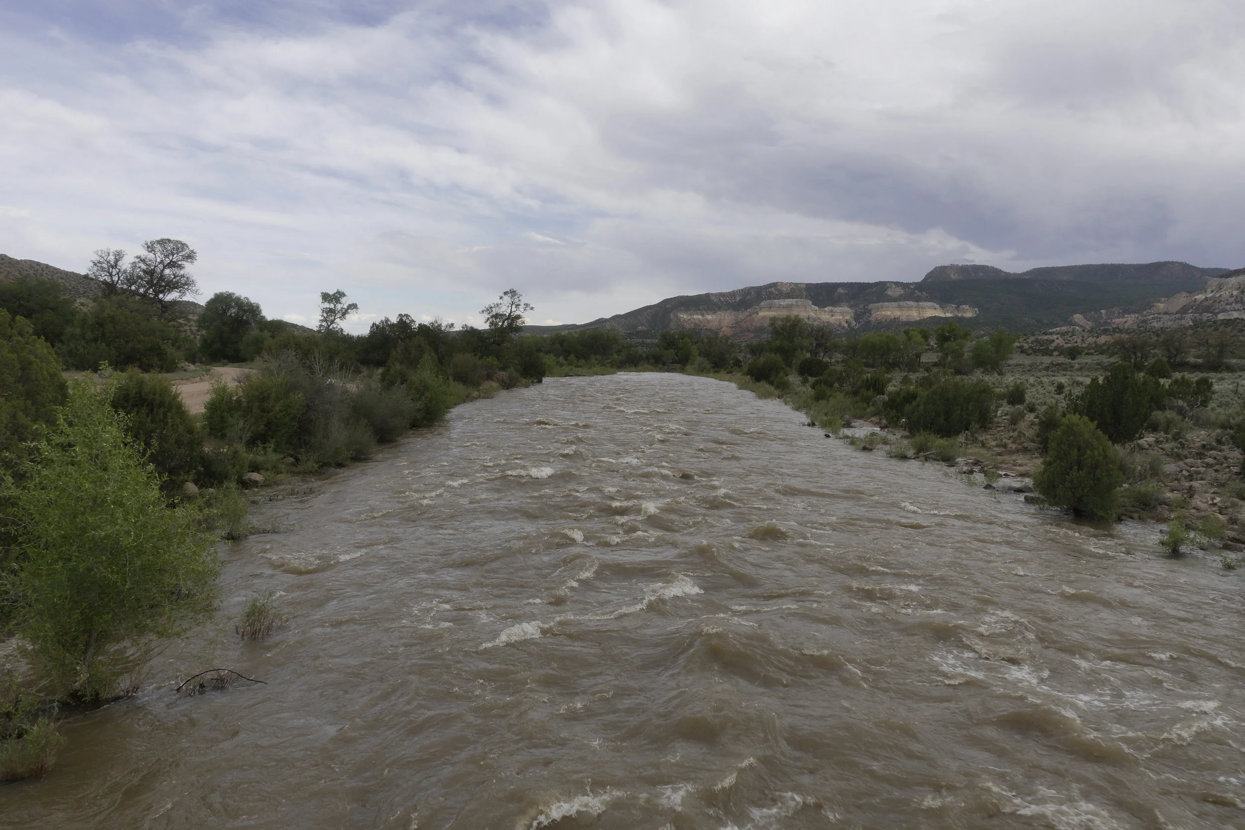
After crossing over the high flowing Rio Chama (a river) on "Skull Bridge" which was as the as scary is it sounded I found camp was with fellow hikers Himal, Wings, and Chris. We had yet another fire, this time made by Himal. I was intrigued by how he collected a bunch of fluffy debris from the nearby cedar trees lit it , then slowly began adding larger and larger sticks. Much different than my usual, make a tipi technique, which takes much longer. He played the ukulele as we horfed dinner down as the sun set. I was close to getting my harmonica out to jam.

IMG_2929.JPG
IMG_2930.JPG
IMG_2931.JPG
IMG_2932.JPG
IMG_2933.JPG

Day 30: Return of Lyle

It's Memorial Day today in Cuba, NM yet I was still able to get a mail drop from a post office worker named Mary. It was full of 2.5 days of food and NEW SHOES. My feet were crying for New ones since the cushioning ran out in my current ones.


After checked my out of the Del Prado, and saying my final farewells to my old shoes I began walking to the Micky D's a few hikers began hiking into town, Franklinstein, Flyballz, Knock Knock, AND LYLE. My first thought was, "Oh hell no!" Before I knew it Lyle spotted me too and looked both ways before heading over to greet me. At this moment I realized he was home. Looking happy as ever he trotted his way to the nearest car garage to peruse through some trash before returning to my morning shadow. Once at Mc-D I gave him one final pat on his greasy head before I went on to order. Through the window I saw him greet a few drivers refueling at the gas station before her scampered off one last time.


It thundered as I rose out of town towards my next destination , Ghost Ranch. My steps became soggier and colder as I neared 10,000 ft. The rain turned to sleet briefly before quitting for the rest of the day. Everything must have been so wet from a good amount of snow that must have melted recently at this altitude. The decent down was slightly better, however blowdowns riddled the trail for the 3 miles downhill. There really wasn't even a trail for most of it, just spray painted blue blazes that lead the way.


I ended the day at the first flat camping area, here I found many familiar faces. My Fire that I built in the available pit made for good conversation for dinner before everyone retreated back to their tents for the calm night.

IMG_2928.JPG
IMG_2925.JPG
IMG_2926.JPG
IMG_2927.JPG

Day 29: Sad Day in Cuba (NM)

We let Lyle/Miles the dog go in a pasture since we discovered that neither Animal Rescue nor Animal Control would pick up phone calls. Acorn was with the little fella right before the highway road that lead into Cuba, NM which was next to a water source.


My legs hurt on the way in, walking on pavement is never an enjoyable experience, especially after 4 days of hiking. In town I walked straight to the Del Prado hotel and asked for the cheapest room, it happened to be a one bedroom smoking room. After checking in, I walked to the nearby McDonalds to make up for my calorie deficit. Hikers Mac, Moist, Oppa, Napoleon, Red Cross, and Chris were there having already been stuffed. I sold the floor space in my room to Chris for $15.


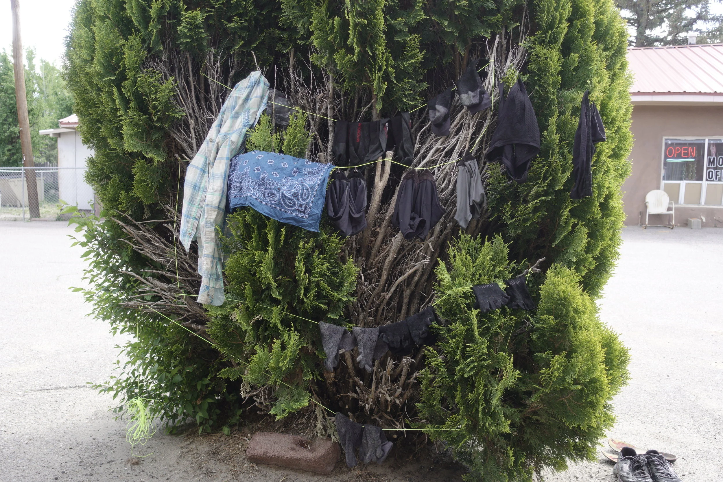
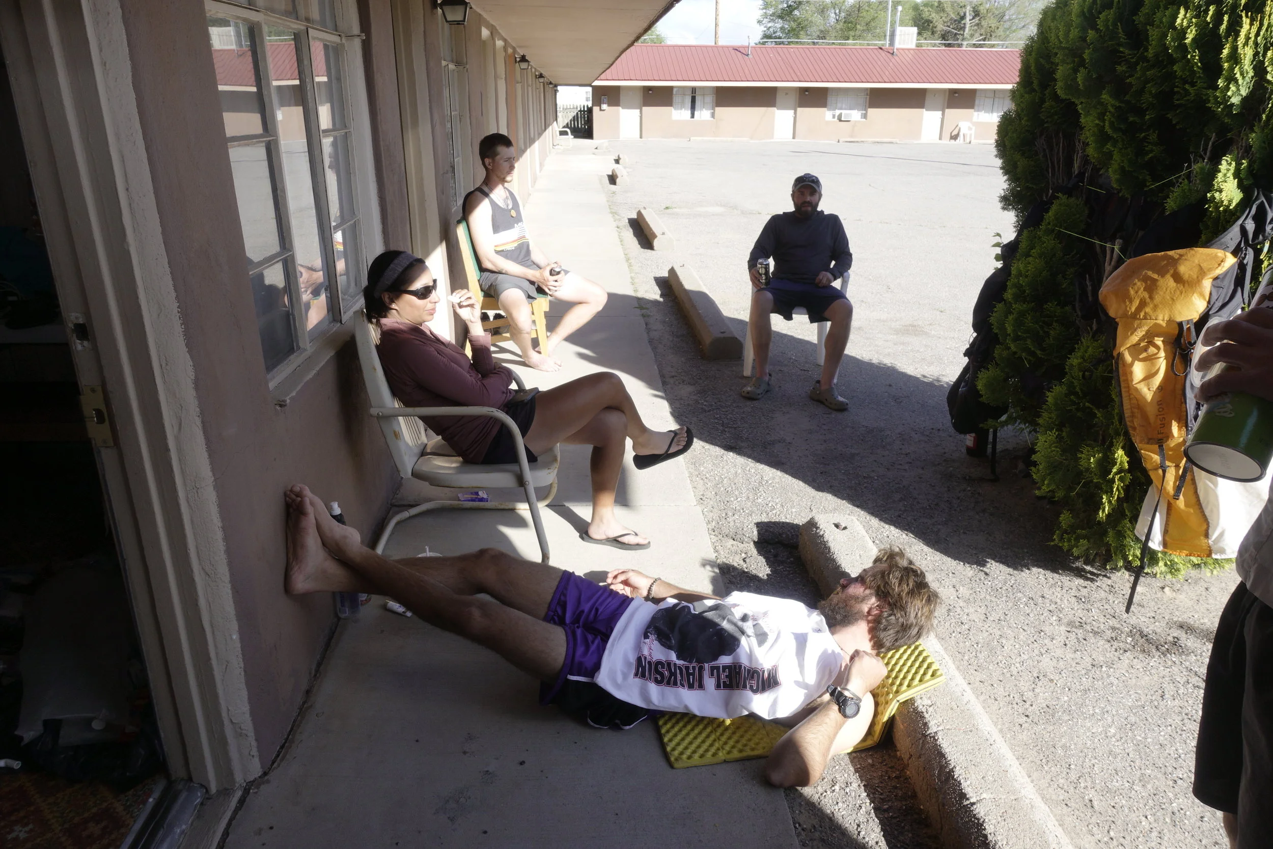
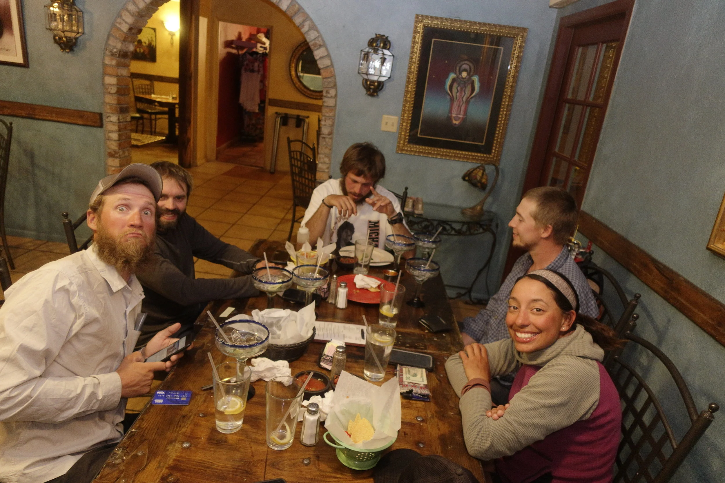
Back at the Del Prado I was happy to find the 4 adjacent rooms open and hikers lounging and drying everything in the sun. It was scene could be defined as straight up hikerThe Motel owner was mingling with everyone and offered me some Chinese food that she had just made, I ate it all happily after thanking her. I found that Sherpas birthday was today so we all planned to go to the El Bruno for dinner and margaritas at the end of the day. Mrs. Yang drove us all a ride to the restaurant for the celebration. Two women mountain bikers who biked in earlier in the day came out later, we discovered that they put in nearly 80 miles in today and are riding the 2768 mile Great Divide Mountain Bike Route (GDMBR).

IMG_2916.JPG
IMG_2917.JPG
IMG_2920.JPG
IMG_2923.JPG
IMG_2924.JPG

Day 28: Batty Water

IT Band hurt today, not the best of days, it didn't help that the elevation map was full of little ups and downs. Luckily I had enough reception to look up some stretches to loosen things up in that area on my left thigh.


I taught Dr. Bug how to properly back flush his Sawyer Squeeze water filter using a combination of taps and vigorous forcing of water through the horribly clogged device. They joked that I should be called "The Plumber" or "Mario."


After showing up to the last water source after dark I was surprised to find that Bats were EVERYWHERE around me. I swear I could feel their little wings brushing up against me as the munches on the mosquitos that were or whatever was trying to land on me. I think I might of annoyed Acorn who happened to be camping right next to the water trough where I was exclaiming every couple seconds. My camera flash confirmed that what was flying around me was in fact Bats.

IMG_2915.JPG
IMG_2913.JPG
IMG_2914.JPG

Day 27: The Badlands

24.3mi today

On a road walk today we kept running across road signs made from paper plates and sharpies that simply and strangely just said "Lyle." We decided to dub the dog after this mysterious Lyle once we ran across the third meaningless sign. If we ended up seeing the dog again.
 

Luckily we were reunited with Lyle. After walking across Dr. Bug & Stud at the first water for the day. They were obviously pissed, probably since the only had a A-frame style tarp with no way to shield themselves from Lyle. This did however joke that Lyle's trail name should be Bonus Miles, or Miles, since he paced back and fourth picking up smells and chasing jackrabbit's throughout the day as he stayed within eyeshot of  whoever he was hiking with at the time.


I slowed down towards the end of the day to wait out the heat in the lower altitude Badlands, which would take up the last 5 or so miles of the day. Had dinner with Doc Bug, stud, Gut Punch, Lyle, Chris, and I at Ojo Frío Spring. The water apparently had a decomposing rat in it a few days ago after inspecting the water report. I though it tasted a little ratty... Before departing Lyle had ticks combed out using an old comb by Gut Punch. Looked kind of like a new, stray, dog.


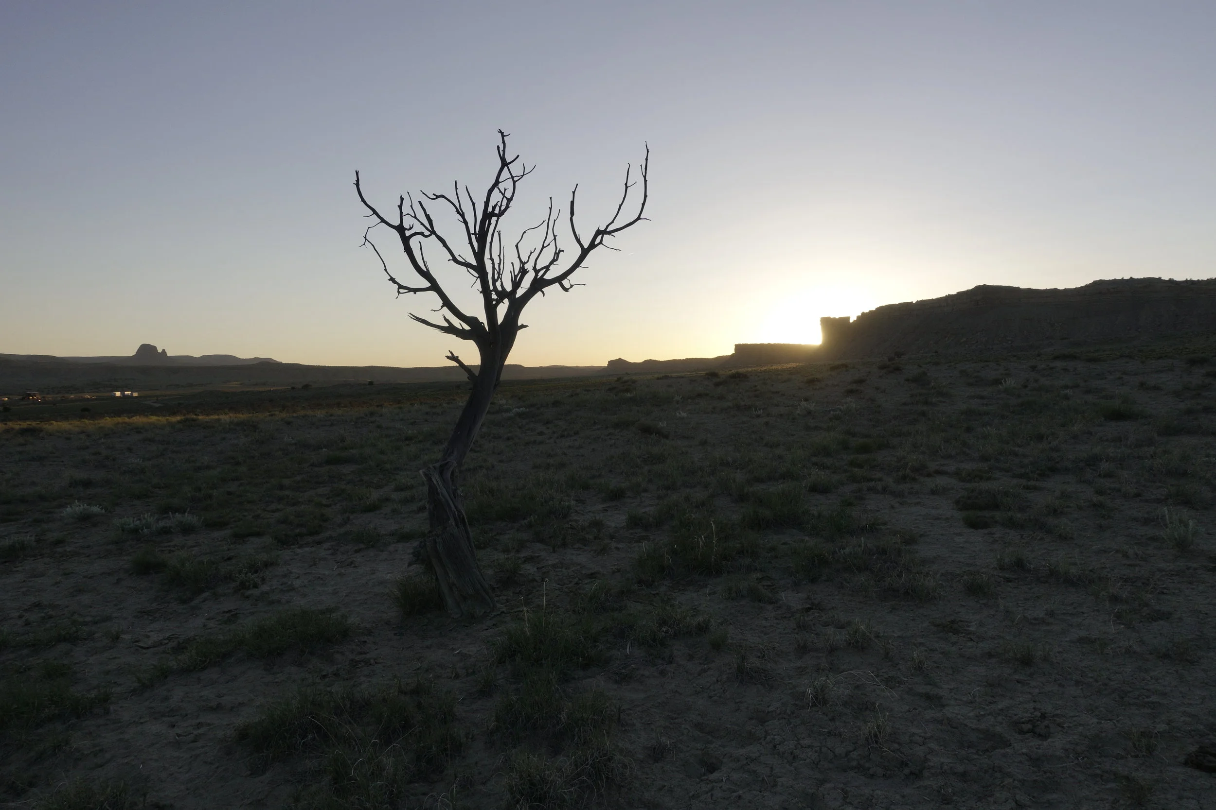
Badlands were amazing as the sun set probably one of the most captivating sunsets yet on trail. The surrounding mesas turned a deep purple as the sun slowly disappeared. Miles the dog happily chased cows and prairie dogs as we shook our heads, before returning to taking in the scenery.

IMG_2900.JPG
IMG_2902.JPG
IMG_2905.JPG

Day 26: Summit Sunrise

25.5mi

Got up at 5am summited Mt. Taylor about a 2 mile walk from camp, regrettably the dog followed me up to the very top, followed by the other two. It was nearly perfect timing for the sunrise. It was brutally windy/cold up there. Luckily there was a pit that the trail crews must have dug out to avoid this such wind.


The decent down the north face of the mountain was full of sketchy hardened snow and trees that you could potentially slide into and hit if you missed one of the pre stomped holes from hikers. The dog still thought it was a good idea to follow us. I saw this guy becoming more and more of a moral dilemma the further we got from Grants.


Once down the mountain we stumbled upon a 6th grader field trip of at least 20, serving oatmeal out of the back of a utility truck dubbed, "The Cloud." The supervisors gave the three of us coffee and oatmeal as the dog pranced around the children. We secretly hoped that we could gradually dip out of the the crowd while, however after seemingly getting away unnoticed, the dog was silently discovered trailing us into the afternoon. We eventually fed him again, since we were nearly 50 miles out of town by the end of the day, but did NOT spend the night with the dog this night, we saw him scamper off to join hikers Dr. Bug & Stud in the distance while on a long dirt road.

IMG_2895.JPG
IMG_2896.JPG
IMG_2897.JPG
IMG_2898.JPG
IMG_2899.JPG

Day 25: A Stray for Strays

21mi, on Mt. Taylor Alternate

The next morning everyone goodbye to Fainting Goat, she heads to Albuquerque in two days to get a cast. Hopefully she can heal before it is time to use an ice axe in the San Juan's.


Leaving Grants, I crossed paths with two locals named John & Rydel, they never heard of the trail, but were helpful in giving directions to the Mt. Taylor trailhead, about a 18 mi walk from the center of town. One said that he lived near a "steamboat" shaped rock heading out of town. Just out of town I was shifting from the intense gusts of wind, as I lost count of the amount of shotgun shells I walked over after passing the New Mexico Corrections Facility. There was numerous "DO NOT PICK UP HITCHHIKERS", signs along highway 547.


It was refreshing hiking on real trail for once, since a LOT of what I've been walking on has been dirt road in until now. As I ascended into the hills I kept catching glimpses of Mt. Taylor, a 11,306 ft / 3,446 m, "Big pile of dirt." As I like to call it.


Once settling down for the night at the second water source out of town, Gooseberry Spring, with Chris, Acorn, and I a furry tick-covered beast decided to camp with us for the night. It was what must have been a newly abandoned dog, or stray that resembled a Native American reservation dog. No collar, no dog tag, no name, but still had its balls, a huge appetite, and ability to annoy the three of us constantly as we horfed down our dinners. I eventually succumbed to to the little guy and smeared peanut butter on a stick and threw it away from us for him to eat. I hoped I wouldn't regret this decision. He plopped down behind one of our tents as zipped up for the night.

IMG_2892.JPG
IMG_2893.JPG
IMG_2894.JPG

Day 24: The Trail is Safer

 ZERO @ Travel lodge, Grants, NM

Didn't sleep too well even though the beds were comfy and warm. I rose as soon as the continental breakfast was being served in the lobby. I joked that they might as well call it the Continental Divide Trail breakfast since the only guests munching, at the tables were all hikers at 7am.


The zero day was spent mostly going through pictures, writing, and drinking chocolate milk. The 4 others in the room came and went making phone calls to home, friends and loved ones. Fainting Goat left to make a trip to a nearby Walgreens at some point, and somewhat calmly came back to announce that she tripped and fell on the sidewalk walking back to the motel. She held her wrist as she explained. We all became worried that she either sprained or even broke her wrist. After checking to see if the hiker/nurse named Lisa in the room nearby she came back to the room with hiker Sherpa and a bag of ice. She seemed much more worried this time. We suspected she broke her wrist, so we all logistically thought about where we could get her to a hospital in town without having to walk out in the intense gusts of wind outside. The two left shortly after on the local shuttle bus, the Carrot Express, to the ER after putting our heads together.


Walking to the Walmart I came across a Latino man who struck conversation by asking how to get to Albuquerque from Grants, after saying I wasn't from around here the conversation quickly shifted to asking for money for gas for his truck that his family had been sleeping in the Walmart parking lot for the last 2 nights. I slipped him $10 and continued on to attempt to buy exactly as much food I needed for the 115 mile section ahead of me to Cuba, NM.


Fainting Goat arrived later that day with her right wrist all wrapped and announced that the wrist was indeed broken, and she needed to leave in the next couple days for Albuquerque to have it casted... The trail seems like the only safe place sometimes on these long walks, especially after moments like these.

IMG_2889.JPG
IMG_2890.JPG
IMG_2891.JPG

Day 23: Chicken Bucket

Travellodge, Grants, NM

Woke early to make it into Grants, 18 miles by noon, was happy to find that I wasn't hobbling from my blisters. The valley of the Bonita-Zuni alternate route eventually turned into a canyon of colorful yellow, orange, and red layers of rock. Cars that passed me slowed to minimize the dust they kicked up.


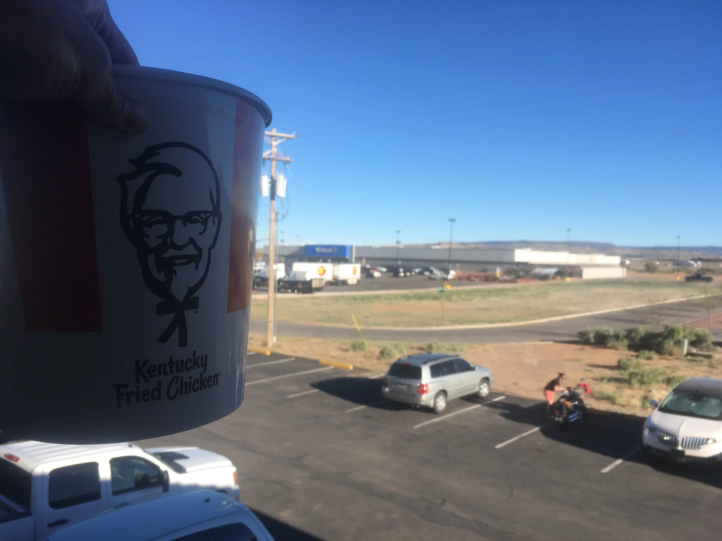
As soon as I made it to the center of town I spotted a KFC and bought a 16 piece chicken bucket, ranging from 8,000-10,000 calories, not bad for a post trail Town meal. I could only horf 10 pieces into me before giving up. I received a much appreciated ride from the Mumms after trying the public transit in town a few times. Once dropped at the travel lodge next to a Walmart I donated the rest to my old friends Fainting Goat, Acorn , and Chris (who doesn't go by the name Troad anymore). The lodge had the same crowd as in Pie Town, we conjugated on the walkway/balcony in front of the rooms until we dispersed to the Denny's next door for dinner.

IMG_2844.JPG
IMG_2841.JPG
IMG_2842.JPG

Day 22: Volcano Ankles

 Woke at mile 7.4 on the Bonita-Zuni Alternate

Again coyotes yelped and howled me to consciousness this morning. I heard Atlas cough from across the valley as he was hiking along the highway. I decided to stay away from the highway as much as I could and cross country along the flat field bordered with bulbous lava rock. I ended up merging onto paths made by non-hikers, antelopes perhaps, fairly quickly.


After merging back onto the highway I made a pit stop at the La Ventana Arch, it was massive, birds flying through and around it really put it to scale. Next up was the 8 mile Zuni-Ancona trail. My shoes tore up from its sharp volcano lava flow walk. New blisters began to form on the ball of my left foot. Despite the difficulty of this section it seemed Mars-esque, and had some fun cairn route finding to it. Boy was I ready to be finished with it my the time I got to highway 53. I was reluctant and grateful to find trail magic from hikers Can-hacker (a Canadian Hacker from Saskatchewan) and Midnight (a writer/photographer from Texas). Can-hacker and I talked of the basics of software exploitation and how he helped in the taking down of terrorist propaganda websites under his own power.


Once I was magic'd out I continued up to the last water until Town with hiker named Silver, who spent most of his winter months in the Bahamas sailing and fishing. We talked a bit about his previous 2 times completing the CDT, and life in the Caribbean. The water came from a fully functional windmill driven water pump. It was fascinating watching the water flow rate fluctuate as the wind speed wavered. A water cache placed by Grants, NM trail angels Hugo & Carole Mumm could be found in the shade of a tree for when the wind left the valley.

IMG_2833.JPG
IMG_2834.JPG
IMG_2836.JPG
IMG_2838.JPG
IMG_2839.JPG

Day 21: Baby Cow Rescue

Started day at mile 39.8 on the Cibola Alternate.

Didn't sleep all that well with how low the temperature got last night. Coyotes again woke me up, they're like the deserts rooster. Talked briefly with Napoleon (from Louisiana & Red Cross (from Switzerland) early in the morning as I ate my morning oatmeal on top of some big concrete piping watching the sun rise. I actually passed the water and had to backtrack a mile to a surprisingly good cow trough that was in a tire. Here I met up with hikers Stud & Dr. Bug (an older couple from South Carolina), and Atlas (an older gent from Minnesota).


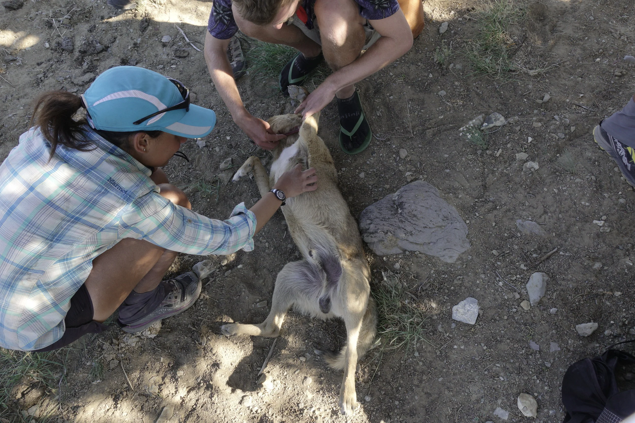
Mid conversation I pointed out a lounging baby cow, must have been born within a day or so. It gave such a distressed moo once it realized us stopping for it. It stood and walked to Stud, she gave it a pet. We realized it must have been abandoned by its mother for some reason. We got ahold of the the local animal rescue, the got in contact with the ranch owners near where we found the baby. Soon after continuing on down the dirt road I realized that cow was likely going to be found refrigerated in a grocery store at some point in its life anyway. The hiking mind overanalyzes sometimes, or at least mine does.


Atlas who I walked with towards the end of the day got me thinking about hikes to do in the winter. The Te Aurora trail in New Zealand would probably be the best case scenario for this, but likely the most costly. The Florida trail was another option, but I'm doubting it's fun factor. I couldn't think of anything in South America other than the Great Patagonian Trail, however I'd have to brush up on my Spanish for that one.


I ended my day across highway 117 just past a solar well with a tank that looked like it was full of green tea under a tree. I border with a volcanic rock field. Where the ground looked like a thick black tar was poured over the land.

IMG_2832.JPG